
Paddling Information
7th & 8th grade students from St. Mary’s School exploring the creek around Ironwood Outdoor Center.
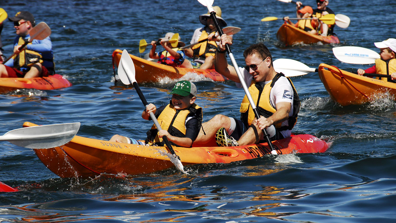
Paddling between Burlington County College and Historic Smithville Park.
Ironwood Outdoor Center provides FREE public access to the South branch Rancocas Creek, for all non-motorized watercraft. Ironwood offers 1.5 miles of creek frontage and easy access to 2.5 miles of trails. There are ample opportunities to try your hand at canoeing, birding, exploration or just plain simple fun. The Rancocas Creek has tidal influence all the way to Kirby’s Mill. If you are planning a paddling excursion you may want to check the tidal forecast. Come and paddle Ironwood’s canoe trail. Ironwood will be renting out Kayaks. Please call (609)267-4104 for more information.
Note: Ironwoods Front gate is locked from Labor Day to Memorial day (Fall, Winter, & Spring).
You may park at the gate and portage to the creek.There is closer access if you put in next to the first shelter (the one next to the sheds, on your left, as you enter the car park) though it’s best to use this one at high tide, as the bank drop-off is steep. Our dock is located past the fenced in pavillion (to the left of the main building).
During the Summer our gates are unlocked during our pool hours.
Approximate Paddling Distances from Ironwood Outdoor Center
Heading Northwest to:
Rancocas State Park – 5.3 miles
Long Bridge Park – TBP – to be paddled
Amico Island Park – 13.3 miles
North branch Rancocas Creek – 6 miles
Delaware River – 13 miles
Palmyra Nature Cove – 15.5 miles – Go and pay our friends at Palmyra a visit!!
Heading Southwest to:
Southwest branch Rancocas Creek – 0.5 miles
Vincentown Dam – 5 miles
Heading South to:
South Branch Rancocas Creek
Kirby’s Mill – 4.6 miles
Medford – 6.9 miles
Rancocas Creek Tide Table http://www.mobilegeographics.com
Please Note: The tidal conditions at Ironwood occur 45 minutes after the reported conditions at Hainesport.
Rancocas Waterway
A Brief History….
Sometime during the1400’s – 1700’s the Delaware valley was settled by the Lenni-Lenape native Indian tribes. The Delaware River and its many tributaries, such as the Rancocas, being of major importance for food, travel, and trade between settlements. The natives named the river Lenape-Wihituck or “the rapid stream of the Lenape,” long before European settlers named it after Sir Thomas West (Lord-de-la-Ware) hence the modern name the Delaware.
Three major tribes of the Lenape occupied much of the South and North of New Jersey, the Unami, Minsi, and Unilachtigo; their totems being respectively the Turtle, Wolf and Turkey. The Rancocas Creek purportedly receives its name from the one of the many sub-tribes, the Ancocus.
Around the time of 1677 a large contingent of Quakers came prepared to trade with the local Indians and during the course of 10-20 years, settlers began to move further along the Rancocas Creek, much to the demise of the local Indians whose numbers began to dwindle from new diseases and the pressures of settlement from the Europeans.
In the late 1600’s, Lumbertown, known today as Lumberton, played its part in history as a place from where early pioneers felled pine trees and cord wood. At one time Lumberton was home to several lumber yards and saw mills. Boats and rafts transported the cut lumber down the Rancocas Creek to thriving towns like Philadelphia, and beyond.
During the 1800’s the Rancocas Creek was host to all manor of water craft from canoes and rafts, to sloops and barges, and in 1855 steam boats even appeared on the creek.
The Rancocas Watershed Today
The Rancocas Creek watershed is the largest watershed in south central New Jersey, comprising of three main tributaries: the north branch, south branch (which runs the perimeter of Ironwood Outdoor Center) and the southwest branch. The main stem of the Rancocas splits into its primary branches of north and south at the juncture of land that is now Rancocas State Park. This main stem flows 8 miles west and drains an area of approximately 49 square miles before emptying in the Delaware River.
The northern branch is 31 miles long and takes a meandering course east through Mt. Holly, Ewansville, Pemberton and Browns Mills, draining an area approximately 167 square miles. It is the only branch to have a navigable (by canoe/kayak) section within the Pine Barrens. If one should take the Greenwood section, you will find tributaries running through Lebanon State Forest.
The southern branch drains approximately 144 square miles of land and heads south through Haines port, Lumberton, Eayrestown, and Vincentown eventually splitting into smaller tributaries just north of Leisuretown. The smaller southwest branch heads down through Kirby Mill and into Medford.
Tidal influence occurs for approximately 15 stream miles. This influence on the north branch extends the entire length of the main stream to the dam at Mt. Holly, Vincentown on the southern branch, and Kirby Mills on the southwestern branch. The ecology of the watershed is divided into 40% forest, 30% developed land, and 17% is devoted to agricultural use including cranberry cultivation. Southern New Jersey is the second largest producer of cranberries in the U.S – in fact Ocean Spray© has a facility in the “Capital” of the Pine Barrens – Chatsworth.
Rancocas Creek Tributaries
North Branch Tributaries Greenwood branch McDonalds branch Mount Misery Brook
South Branch Tributaries Southwest branch Rancocas Creek Jade Run Haynes Creek Friendship Creek
All Comments
Write a Comment